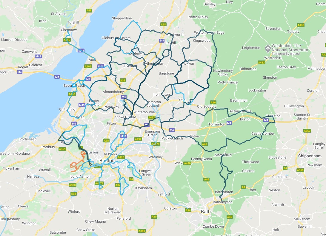
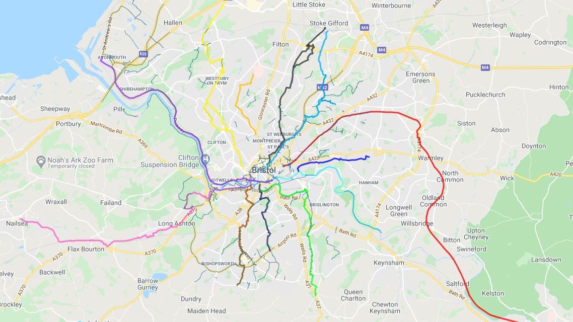
This section offers a large number of routes of varying type and length, with maps and info that you can download and take with you. Enjoy!
Discover your local area by checking out our local maps, booklet guides and pre-planned rides for both new and experienced cyclists to try – perfect for planning a family day out.
Bath & North East Somerset
Cycling maps including routes around Bath

City of Bath
Cycle routes in the Bath

Bath city centre
Map of Bath city centre routes

Bath regional cycle
Cycle routes in the wider Bath & North East somerset

Midsomer Norton, Westfield and Radstock
Cycle routes in Midsomer Norton, Westfield and Radstock

Keynsham and Saltford
Cycle routes in Keynsham and Saltford
North Somerset
Cycling maps including routes around North Somerset

North Somerset regional map
Cycle routes in North Somerset region

Clevedon
Cycle routes in Clevedon

Nailsea
Cycle routes in Nailsea

Portishead
Cycle routes in Portishead

Weston-super-Mare
Cycle routes in Weston-super-Mare

Strawberry Line Path
Cycle map of Strawberry Line

Pier To Pier Way
A new 13-mile route connecting Weston-super-Mare’s Grand Pier, Birnbeck Pier and Clevedon Pier. The route overcomes the barrier of the M5, avoids the busy A370 and saves four miles! It is aimed at commuters, leisure cyclists and tourists.
South Gloucestershire
Cycling maps including routes around South Gloucestershire

South Gloucestershire regional
Cycle routes in South Glos region

Bradley Stoke / Patchway
Cycle routes in Bradley Stoke / Patchway

Chipping Sodbury / Yate
Cycle routes in Chipping Sodbury / Yate

Frampton Cotterell / Winterbourne
Cycle routes in Frampton Cotterell / Winterbourne

Thornbury / Alveston
Cycle routes in Thornbury / Alveston
Mountain bike trails
Discover Mountain Bike Trails just 10 mins outside of Bristol in Ashton Court and Leigh Woods.

Ashton Court / Leigh Woods trails map
